v
|
|
|
|
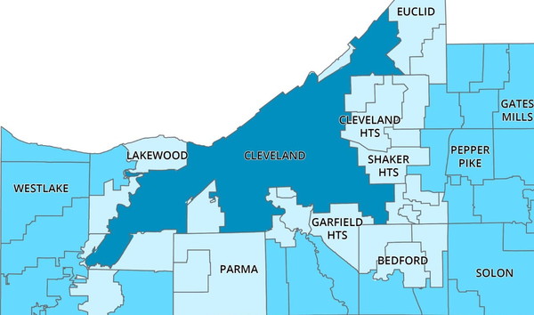
| A tour of the area around Shaker Square | ||||||||||||
|
THIS PAGE IS UNDER DEVELOPMENT |
||||||||||||
 |
||||||||||||
 |
||||||||||||
 |
||||||||||||
|
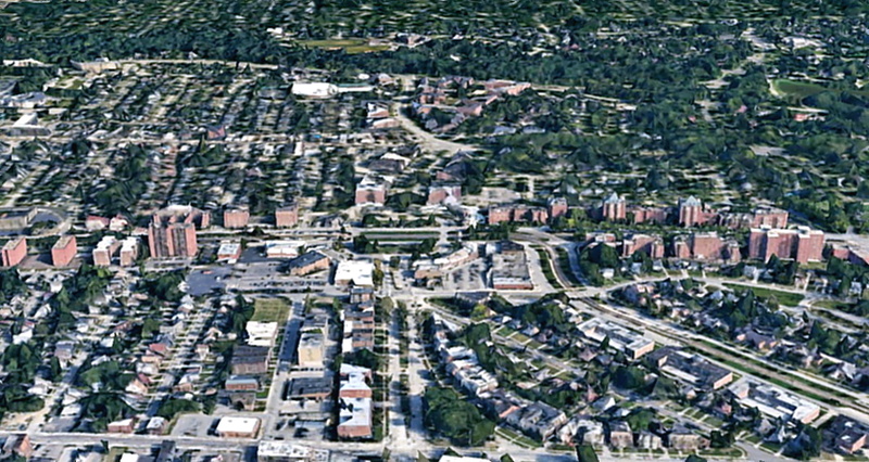
The Shaker Square area in Cleveland, Ohio,
looking north. |
||||||||||||
|
Shaker Square is at the center of the image above. Shaker Boulevard, with the Rapid Transit lines, goes through the Square. The Van Aken (Blue) Rapid line runs southeast. The dark band near the top of the image, slowly bending southeast, is the tree-lined ravine through which runs Doan Brook, which flows down to Lake Erie. This ravine, the border between Cleveland Heights and Cleveland, also separates Cleveland Heights from Shaker Heights. Just south of the ravine is Fairhill Road, which began at the end of Stokes Boulevard and crosses Kemper Road, then South Park Boulevard and ends at Coventry Road. The east-west street below Fairhill Road is Larchmere Boulevard. Then Shaker Boulevard, which begins at Buckeye and Woodhill Roads in Cleveland and extends 12 miles east of Shaker Square, ending near Chagrin Falls. At the bottom of this image is Buckeye Road, which becomes South Woodland Road in Shaker Heights. |
||||||||||||
|
||||||||||||